
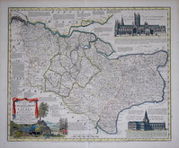
Surrey Maps
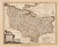
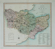
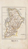
Kent Maps
( Page 1 of 3 )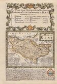
Emanuel Bowen 1720
Emanuel Bowen 1763 [c.1777]
Joseph Ellis 1773
Eugene Henry Fricx 1777

John Cary 1789 [1791]
Benjamin Baker 1792
Charles Smith 1801 [1804]
Robert Butters 1803


12x18 cm
FROM "OWEN & BOWEN" POCKET ROAD ATLAS
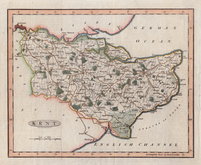
A MAP of KENT
Map set below a decorative cartouche containing the title and details of the road from Chelmsford to Bury St Edmunds and Saffron Walden.
Road map of the final part of the route from Chelmsford to Bury St Edmunds and Chelmsford to Saffron Walden verso.
Engraved by Emanuel Bowen (1693?-1767) and published in the pocket road book Britannia Depicta by Thomas Bowles from 1720 to 1764. The county maps were based on Robert Morden's small series published in The New Description and State of England... from 1701. Text descriptions compiled by John Owen.
For full description of the road, go to category: Maps > British Isles > RoadMaps > Owen & Bowen.
For more information on Britannia Depicta, see the category heading under Road Maps > Owen & Bowen.
Quick Links


Essex Maps

Sussex Maps
×