
Wales Maps
England & Wales
( Page 1 of 5 )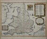
John Ogilby 1676

Saxon Heptarchy Robert Morden 1695
Robert Morden 1695
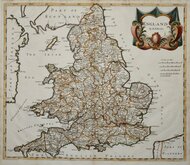
Herman Moll 1725
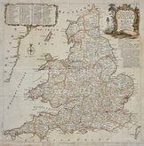
Thomas Kitchin 1763
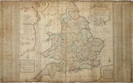
John Cary 1809
John Roper 1809
John Roper 1809


50x38 cm
A New Map of the Kingdom of ENGLAND & Dominón of WALES. Whereon are Projected all ye Principal Roads Actually Measurd & Delineated. By JOHN OGILBY Esqr. his Ma.ties Cosmographer.
James Moxon S.
The General map of England and Wales which accompanied the strip road maps in his famous road book Britannia. Decorative cartouche containing a catalogue of the roads. The road network indicated on this general map is more comprehensive than his strip maps.
Engraved for John Ogilby by James Moxon (1651?-1708).
This is the second state of 1676, without spires and towers marking the towns but with a number of ships added to the sea areas.
The map did not appear in the 1698 edition of Britannia because William Morgan, Ogilby's successor in the business and publisher of the final edition of the work, had adapted the plate for inclusion in his Ogilby & Morgan pocket road books.
Fine example in neat later hand colour. Small margins left and right as usual, but complete and 5mm clear of plate mark.
Quick Links


Scotland Maps

Whole of Britain & British Isles
×